Beach Water Monitoring

Little girl playing in the water at a beach

Lakelands Public Health monitors beach water to ensure the safety and health of the community by detecting harmful contaminants and bacteria. Regular monitoring helps to prevent waterborne illnesses and protect the environment, allowing the public to enjoy recreational water activities with confidence.

Spotted a Blue-green Algae Bloom?

If you live or use a lake or waterway, be on the lookout for blue-green algae blooms. If you spot a bloom, report it to the Spills Action Centre at 1-866-663-8477.

Beach Water Monitoring

When water temperatures are above 15 degrees Celsius, we monitor/sample beach water at 76 public beaches that are municipally owned/operated in the County of Haliburton, City of Kawartha Lakes, Northumberland County, and the City and County of Peterborough from mid-June to the end of August.

Beach water quality is routinely monitored however, conditions can change at any time and bacteria may be present, always swim at your own risk.

We use a three-colour coded system to report beach water quality:

Risk Level Status What It Means
🔴 High Risk Beach is Closed High bacteria levels or hazardous water conditions. DO NOT swim or enter the water.
🟡 Moderate Risk Swimming not Advised Bacteria levels are elevated and may increase your risk of illness.
🟢 Low Risk Safe for Swimming Water quality meets Ontario Guidelines. Swimming and wading are allowed.


Check if a Beach is Open!

Click the location buttons below to find beach water testing results for the area you’re visiting.

City of Kawartha Lakes

Red High-Risk


There are no beaches in the high-risk category.

Yellow - Moderate Risk


The following beaches are moderate-risk:

Head Lake Beach – Laxton Moderate-Risk

Riverview Beach Park - Bobycaygeon Moderate-Risk

Green Low-Risk


The following beaches are low-risk:

Beach Park - Bobcaygeon Low-Risk

Birch Point – Fenelon Falls Low-Risk

Blanchards Road Beach - Bexley Low-Risk

Bond Street – Fenelon Falls Low-Risk

Burnt River Beach - Somerville Low-Risk

Centennial Beach - Verulam Low-Risk

Centennial Park West - Eldon Low-Risk

Four Mile Lake Public Beach - Somerville Low-Risk

Lions Park - Coboconk Low-Risk

Norland Bathing Area – Laxton Low-Risk

Sturgeon Point Beach – Fenelon Falls Low-Risk

Valentia Sandbar Beach Low-Risk

Verulam Recreational Park Low-Risk

Beach Water Monitoring Results Pending


The following beaches are awaiting test results.

Centennial Verulam Parkette Testing Season Closed - Beach Closed until July 1st, 2026

Omemee Beach Testing Season Closed - Beach Closed Until July 1st, 2026

 ______________________________________________________________________________________________________________

City and County of Peterborough

Red High-Risk


There are no beaches in the high-risk category.

Yellow Moderate-Risk


The following beaches are moderate-risk:

Green Low-Risk


The following beaches are low-risk:

Beavermead Beach - Peterborough Low-Risk

Belmont Lake - Havelock-Belmont-Methuen Low-Risk

John Street Beach - Trent Lakes (Buckhorn) Low-Risk

Chandos Beach - North Kawartha Low-Risk

Crowe's Line Beach - Trent Lakes Low-risk

Douro Park North - Douro-Dummer Low-Risk

Ennismore Waterfront Beach - Selwyn Low-Risk

Henry's Gumming - Curve Lake First Nation Low-Risk

Hiawatha Beach - Hiawatha First Nation Low-Risk

Jones Beach - Selwyn (Bridgenorth) Low-Risk

Kasshabog Lake - Havelock-Belmont-Methuen Low-Risk

Lakefield Beach - Selwyn Low-Risk

Lime Kiln Park - Curve Lake First Nation Low-Risk

Quarry Bay Beach - North Kawartha Low-Risk

Roger's Cove - Peterborough Low-Risk

Sandy Beach - Trent Lakes Low-Risk

Selwyn Beach Conservation Area - Selwyn (Owned by Otonabee Conservation) Low-Risk

Squirrel Creek Conservation Area - South Monaghan (Owned by Otonabee Conservation) Low-Risk

Warsaw Caves Conservation Area - Douro-Dummer (Owned by Otonabee Conservation) Low-Risk

White's Beach - Trent Lakes Low-Risk

Beach Water Monitoring Results Pending


The following beaches are awaiting test results.

 ______________________________________________________________________________________________________________

County of Haliburton

Red High-risk


The following beaches are high-risk:

Yellow Moderate-Risk


The following beaches are moderate-risk:

Green Low-Risk


The following beaches are low-risk:

Bissett Beach - Minden Hills Low-risk

Dorset Parkette – Algonquin Highlands Low-risk

Eagle Lake Beach – Dysart et al Low-risk

Elvin Johnson Park – Algonquin Highlands Low-risk

Forsters Beach – Minden Hills Low-risk

Gooderham Lake Beach – Highlands East Low-risk

Glamour Lake Beach – Highlands East Low-risk

Haliburton Lake Beach – Dysart et al Low-risk

Horseshoe Beach – Minden Hills Low-risk

Paudash Lake Beach – Highlands East Low-risk

Pine Lake Beach – Dysart et al Low-risk

Rotary Beach - Head Lake – Dysart et al Low-risk

Rotary Head Lake Beach Lagoon – Dysart et al Low-risk

Rotary Park Lagoon – Minden Hills Low-risk

Rotary Park Main – Minden Hills Low-risk

Sandy Cove Beach – Dysart et al Low-risk

Sandy Point Beach – Dysart et al Low-risk

Slipper Beach – Dysart et al Low-risk

Twelve Mile Lake Beach – Minden Hills Low-risk

Wilbermere Lake Beach – Highlands East Low-risk

Beach Monitoring Results Pending

Beach testing is closed until Summer 2026, check back soon!

 ______________________________________________________________________________________________________________

Northumberland County

Red High-Risk


There are no beaches in the high-risk category.

Yellow Moderate-Risk


The following beaches are moderate-risk:

Green Low-Risk


The following beaches are low-risk:

Hastings Waterfront North – Trent Hills Low-risk

Hastings Waterfront South – Trent Hills Low-risk

Little Lake – Cramahe Low-risk

Sandy Bay Public Beach - Alnwick-Haldimand Low-risk

Victoria Beach- Cobourg Low-risk

Beach Water Monitoring Results Pending


The following beaches are awaiting test results.

Caldwell Street Beach – Port Hope Not sampled - water temperature 10-degree Celsius

Crowe Bridge Park – Trent Hills Closed - high water flow

East Beach – Port Hope Not sampled - water temperature 10-degree Celsius

West Beach – Port Hope Not sampled - water temperature 10-degree Celsius

Wicklow Beach - Alnwick-Haldimand Not sampled - water temperature 10-degree Celsius

 ______________________________________________________________________________________________________________

Why is Monitoring Beach Water Important?

Contamination of recreational water poses significant health risks, including exposure to harmful bacteria, viruses, and chemicals. 

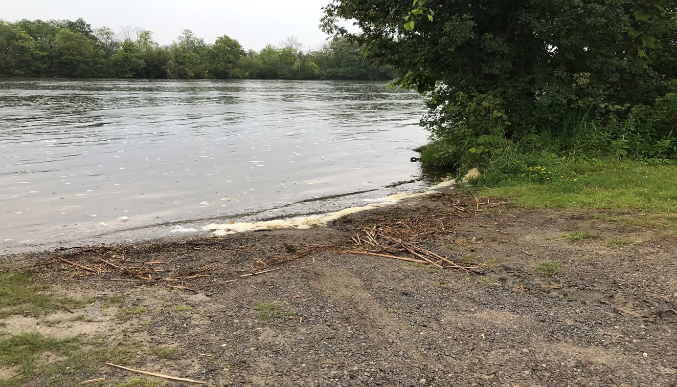
There are a number of ways that beaches can become contaminated with bacteria. Storm water runoff, combined with sewer overflows, sewage treatment plant bypasses, agricultural runoff, faulty septic systems, and large populations of waterfowl like geese all contribute to water pollution which can result in beach postings.

Beach postings are most likely to occur after rain storms or prolonged hot weather. Rain water washes fecal material from cats, dogs, birds and other wildlife into storm sewers which flow directly into nearby rivers and lakes. Prolonged hot weather conditions promote the growth of the bacteria in the water.

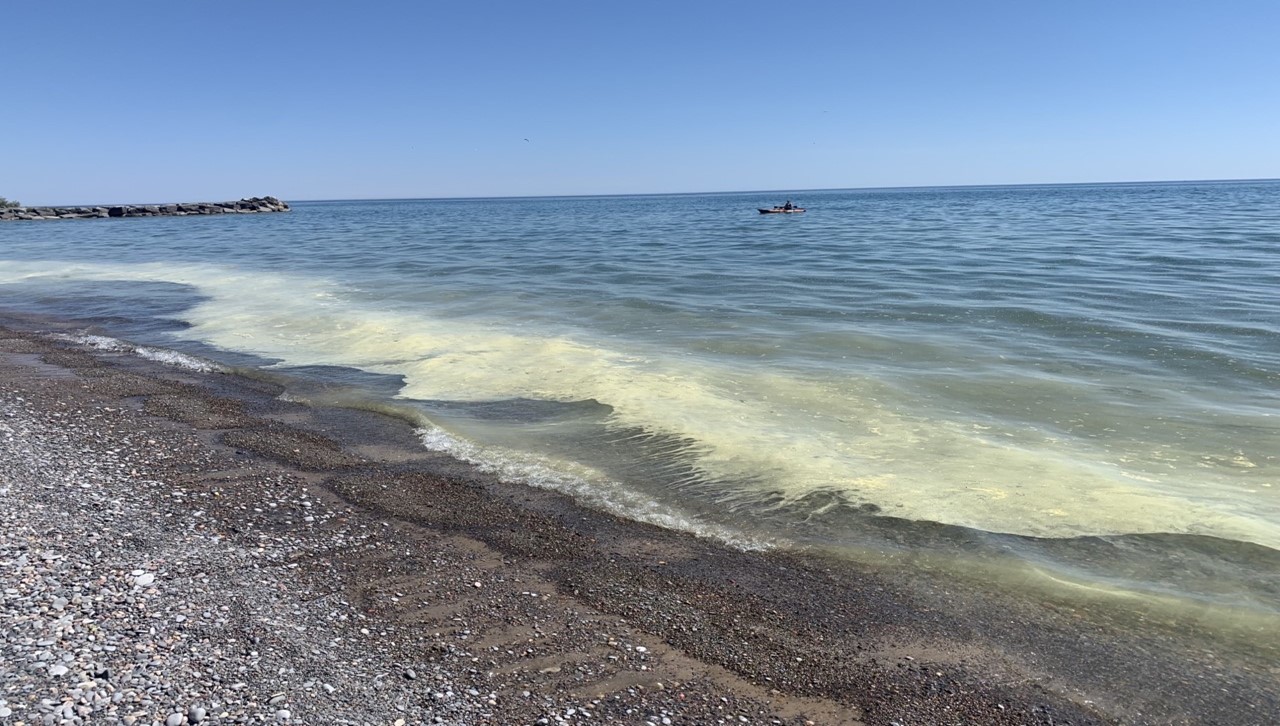
Water temperature also has a significant effect on bacterial levels. Shallow beaches will have warmer water and a higher potential for bacterial growth.

  • Check the beach water quality and weather conditions. Swimming during and 48 hours after rainfall is not recommended.
  • Learn to Swim. Do not enter the water if there are doubts about swimming ability.
  • Look for and read the safety signs. Always read and obey all posted signs. Lake conditions can change quickly, and the absence of a particular sign does not mean there is no threat to personal safety.
  • Recognize hazards and dangers.
  • Never swim alone, always swim with a buddy. The person you are with may be your only lifeline for help.
  • Designate a Water Watcher. Stay within arm’s reach of children.
  • Avoid swimming at night.
  • Alcohol and water don't mix. Swim sober. Do not enter the water or go swimming while under the influence of alcohol or drugs.
  • Feet first water entry, protect your neck. Reduce the risk of head injuries by entering unknown water feet first.
  • Life Jackets Save Lives. Wear a lifejacket or personal flotation device.
  • Beat the Heat & Block the Sun, wear sunscreen with SPF 30 or higher, apply every two hours and reapply before and after swimming.
  • Stay hydrated. Drink plenty of water.

You can play a role in making local beaches safer to use. Here are some suggestions on how to reduce water contamination:

  • Pet owners should observe the “stoop and scoop” bylaws as domestic pet waste is a major source of bacteria in storm water.
  • Allow water from eavestroughs to discharge onto lawns. This reduces the amount of rainwater going directly into the sewer system.
  • Reduce household water use. This avoids capacity problems at sewage treatment plants that could result in untreated sewage entering lakes and rivers.
  • Fence livestock away from streams and provide them with an alternative source of water. This will benefit both the health of the herd and the environment.
  • Ensure that runoff from feedlots and manure piles are properly contained.
  • Upgrade septic systems and keep them in good working order.
  • Do not feed the birds.
  • Do not let children swim in soiled diapers.
  • Pick up your garbage.

Bacteria and viruses are some of the most common contaminants found in beach water. Local beach waters are tested for E. coli bacteria, which is an indicator that there is fecal contamination present from animals, humans, or both. E. coli, as well as other disease-causing organisms, can cause intestinal illness or infections of the eyes, ears, nose, or throat.

To protect yourself and your family from the health hazards of contaminated beach water, it is important to be aware of water quality conditions and avoid swimming when the water quality is poor. It is also important to take precautions such as showering after swimming, and avoiding swallowing or coming into contact with the water. If you do experience any health symptoms after swimming in beach water, please seek medical attention.

Swimmer’s itch, also called cercarial dermatitis, appears as a skin rash caused by an allergic reaction to certain microscopic parasites that infect some birds and mammals. These parasites are released from infected snails into fresh and salt water (such as lakes, ponds, and oceans). While the parasite’s preferred host is the specific bird or mammal, if the parasite comes into contact with a swimmer, it burrows into the skin causing an allergic reaction and rash. Swimmer’s itch is found throughout the world and is more frequent during summer months.

Learn more about the symptoms, risk and treatment of Swimmer's Itch.

Yellow Scum (Pine Pollen)

The mustard yellow scum which may be seen in early summer on the surface of lakes and along their shorelines is a product of Mother Nature, not industry.

Environment Ontario’s Water Resources staff explain that the yellow scum, most prevalent in the month of June, floats on the surface of water or accumulates along shorelines and beaches. It is due to the presence of pine pollen or pollen from other trees and should not be mistaken for algae or an industrial waste.

In most instances, pine pollen will not be a health hazard. It will probably be blown or washed away when the wind changes direction and will eventually break down or become trapped in the sediment at the bottom of a watercourse. The condition is seasonal, and should begin to taper off in early July of any year in which it appears as a problem.

For more information contact your local Ministry of Environment, Conservation and Parks

Foam

The foaming of surface waters on lakes is not a new phenomenon. It is a natural process that has been going on for a long time. All lakes contain organic matter, such as algae, rooted aquatic plants and leaves. When this organic matter decomposes, it releases cellular products to the water, which form a surfactant, or surface agent. A surfactant simply lessens the surface tension of water, making it susceptible to foaming. When the wind blows, the waves on the lake agitate this surface agent, thus transforming it into sudsy white foam.

Natural foam is most noticeable along beaches exposed to the prevailing wind direction. When the foam reaches the shoreline, it tends to form a loose line where it mixes with tiny pieces of organic matter, which act as a binding agent and give it stability.

Foam on the surface waters is a harmless by-product of our lakes. Its chemical makeup is 99% air and water, combined with 1% or less surfactant.

For more information contact your local Ministry of Environment, Conservation and Parks.

Contact Our Team

We’re here to help. Reach out and we’ll respond as quickly as possible.